TADS publications can be purchased from TADS Sales
(email: tadssales@gmail.com)
Download Publications order form
Books
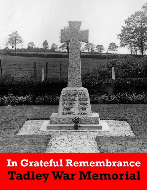
In Grateful Remembrance – Tadley War Memorial
In 2014, as part of the national commemorations to mark the start of World War I, Tadley and District History Society held an exhibition in the Community Centre of the lives of the 31 men. A second exhibition was held in St Paul’s Church Hall the following year, to commemorate those who died in World War II. This book is as a result of the success of these two exhibitions. In Grateful Remembrance – Tadley War Memorial tells the story behind the names. Not just the personal history of the thirty-seven men, but also that of the lives of those people they left at home. Tadley and District History Society are enormously grateful for the financial assistance given by Tadley Town Council which has enabled the publication of this book.
£5.00
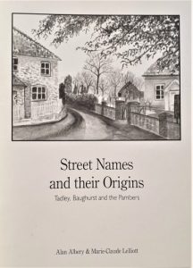
Street Names and their Origins
by Alan Albery & Marie-Claude Lelliott
A guide to the origins of street names in Tadley, Baughurst and the Pambers by Marie Lelliott and Alan Albery. In this edition, they have included the neighbouring villages of Baughurst, Pamber End, Pamber Heath and Pamber Green as part of a wider semi-rural community. This publication brings meaningful explanations of the origins of street names to our community and makes us aware of the continuity between past and present.
£2.00
Maps
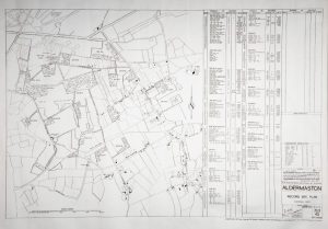
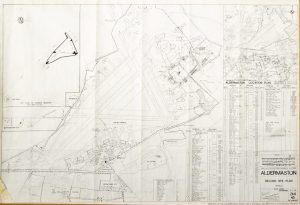
1945 Aldermaston Airfield Wartime map
Printed to order an A2 size copy of ‘Dispersed Sites Plan 102 /263/45′ showing all military buildings sites throughout Tadley. The individual buildings are shown on the map for each of the 17 sites. The Schedule of Buildings attached for each of the 17 sites provides the use of the individual buildings.
£3.00
